
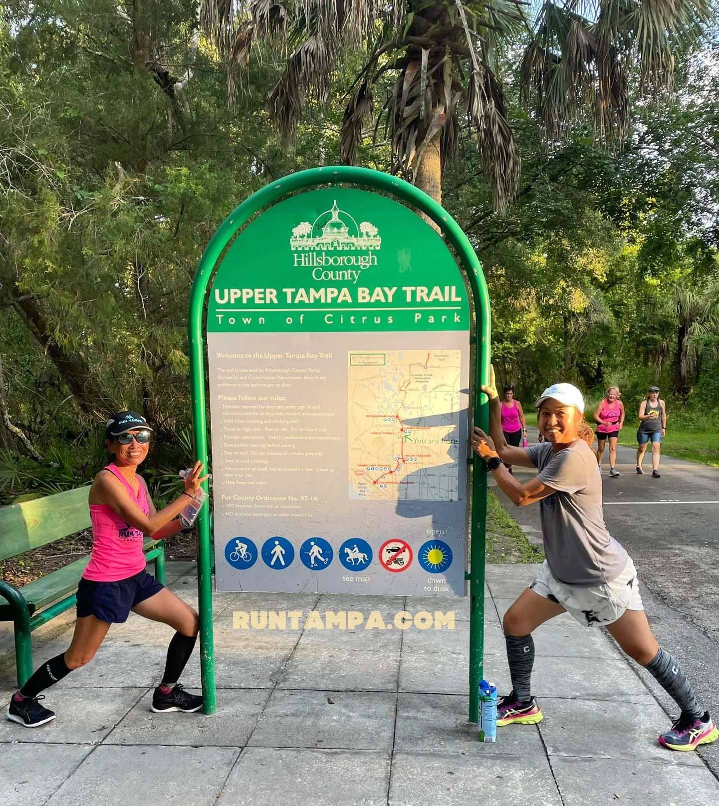
Upper Tampa Bay Trail
The most popular, most used trail in Hillsborough County, is comprised of two segments. The northernmost segment connects Van Dyke with Highway 54, about 5 miles. We do not currently have group runs at that location because the other locations are more popular with our group; however, information about that trail head is provided below.
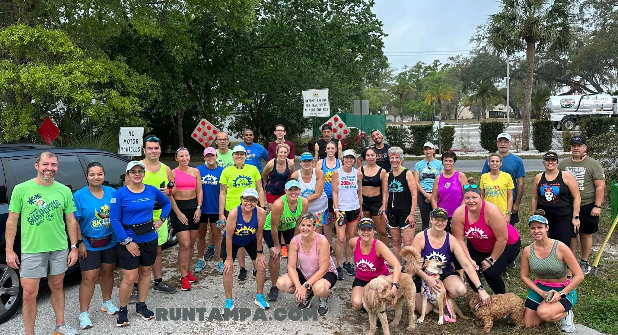
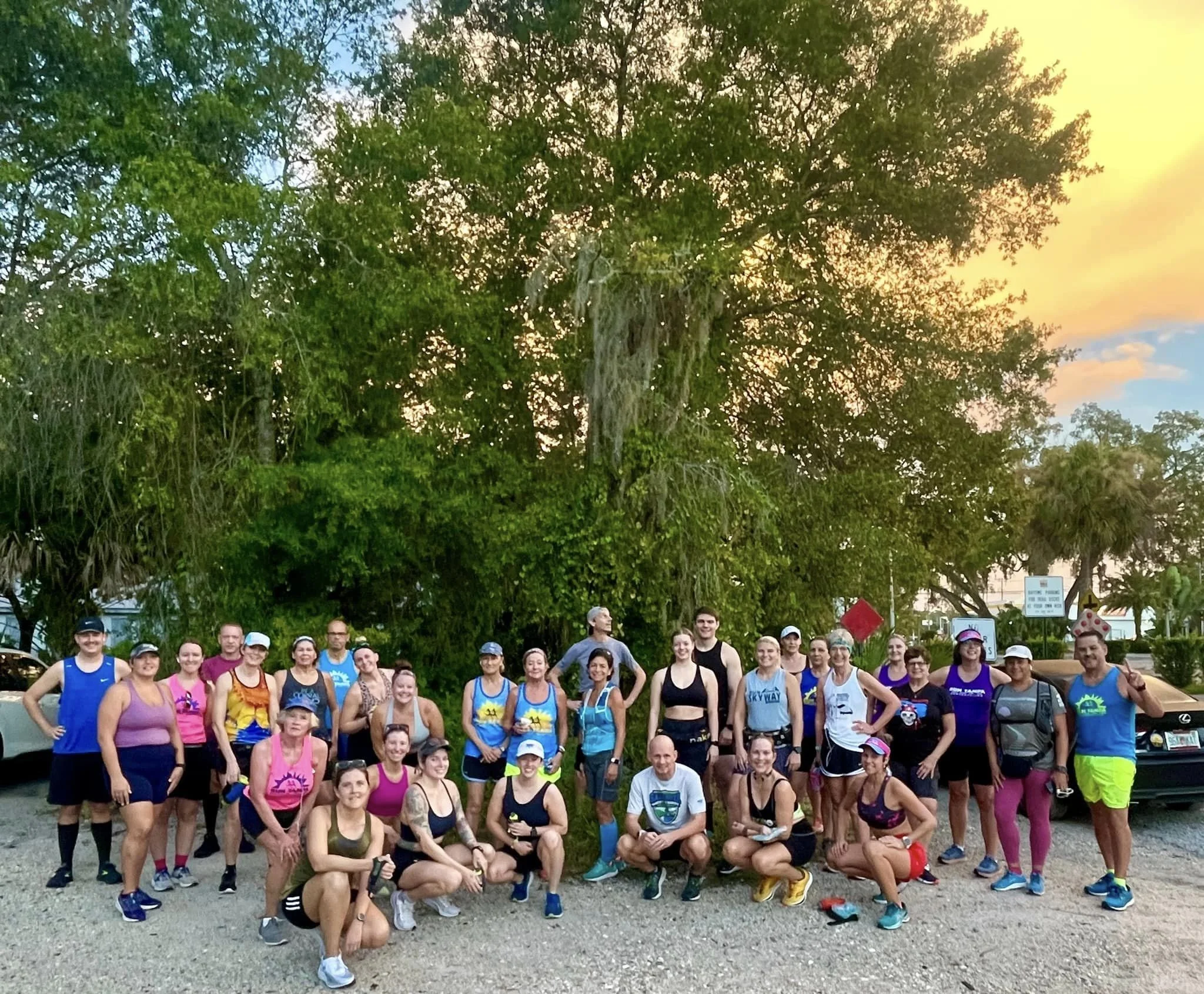
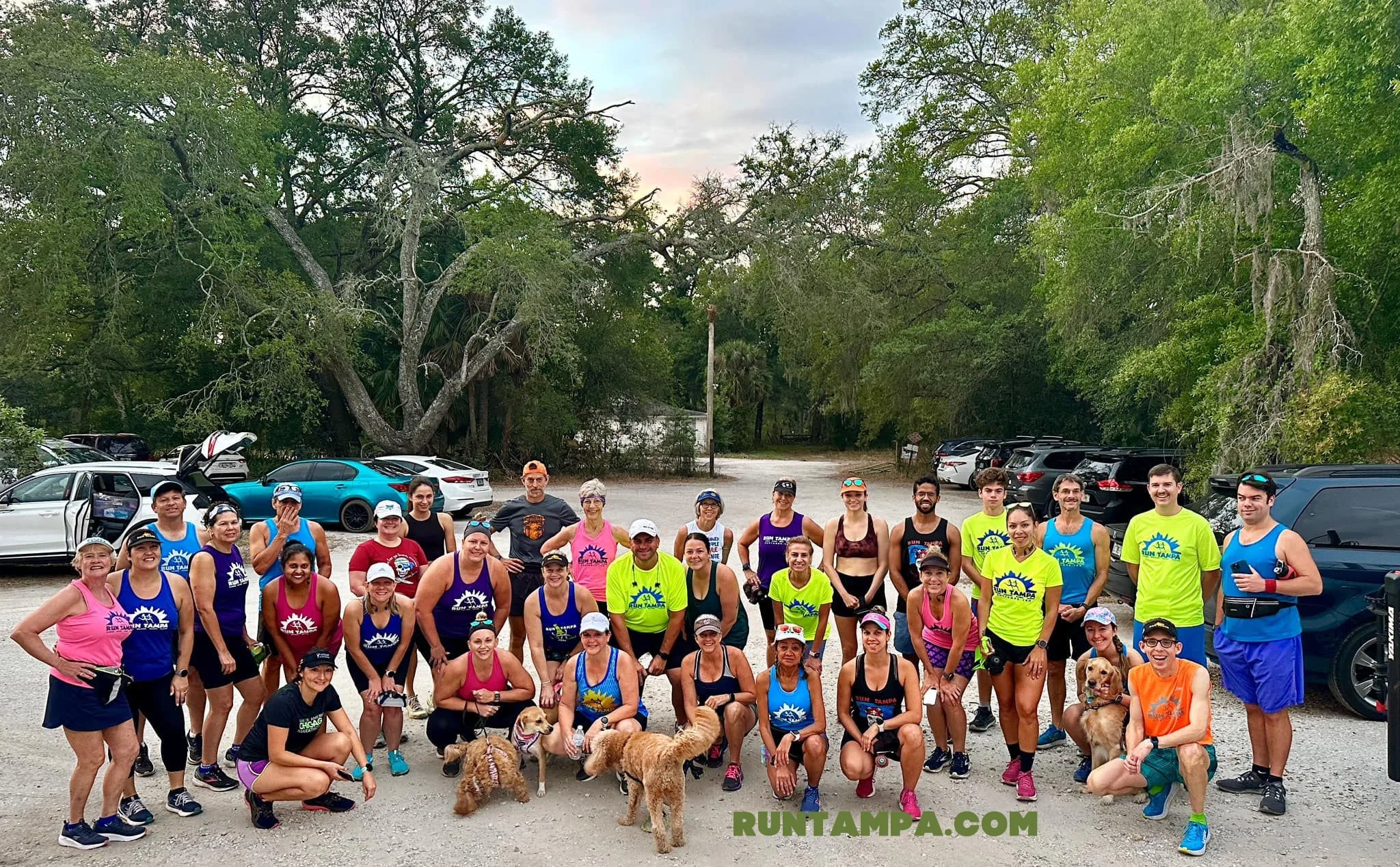
***Run Tampa Group Run procedures and schedule here***
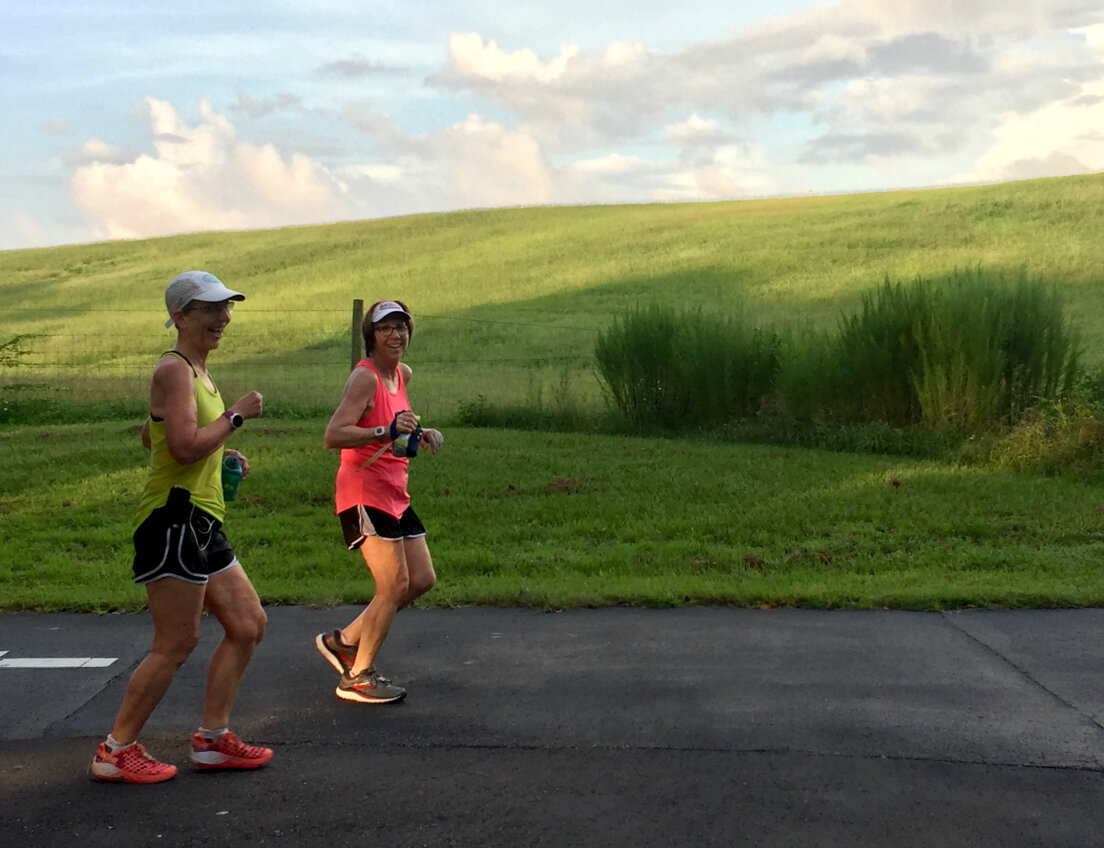
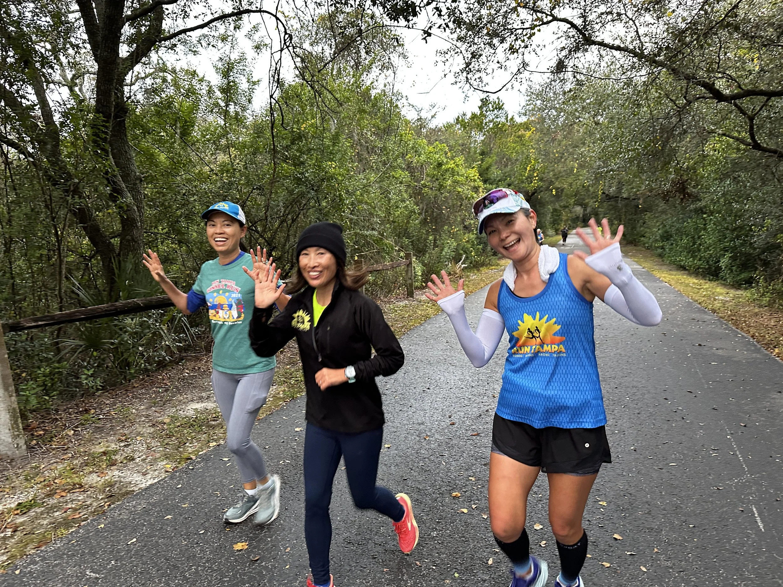
Saturday runs rotate among several locations. Since this is such a popular location, we run here every other week. The other weeks alternate between Davis Islands, Safety Harbor, and Hyde Park/Bayshore.
We always meet at the Ehrlich Road Trailhead. See below.
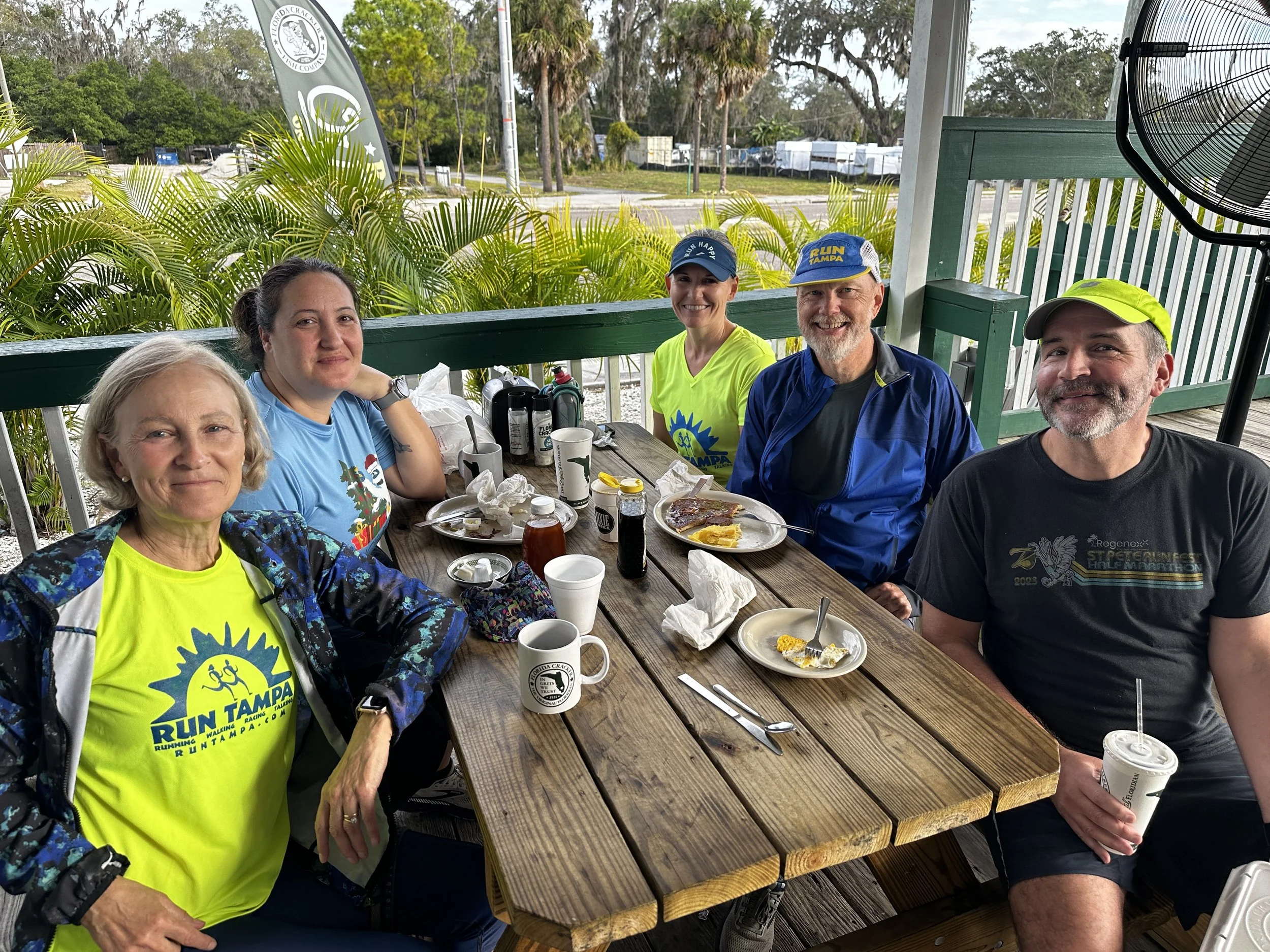
Breakfast is at Florida Cracker Fish Company, which is located right next to the trailhead.
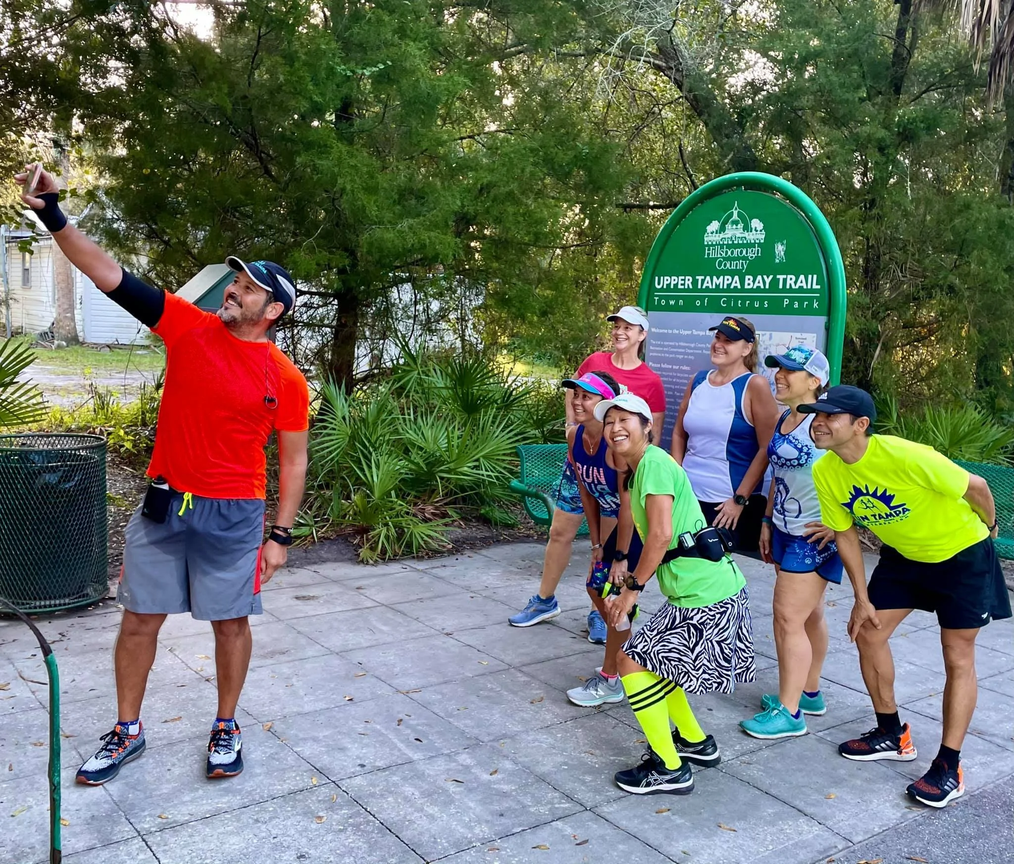
Ehrlich Road Trail Head
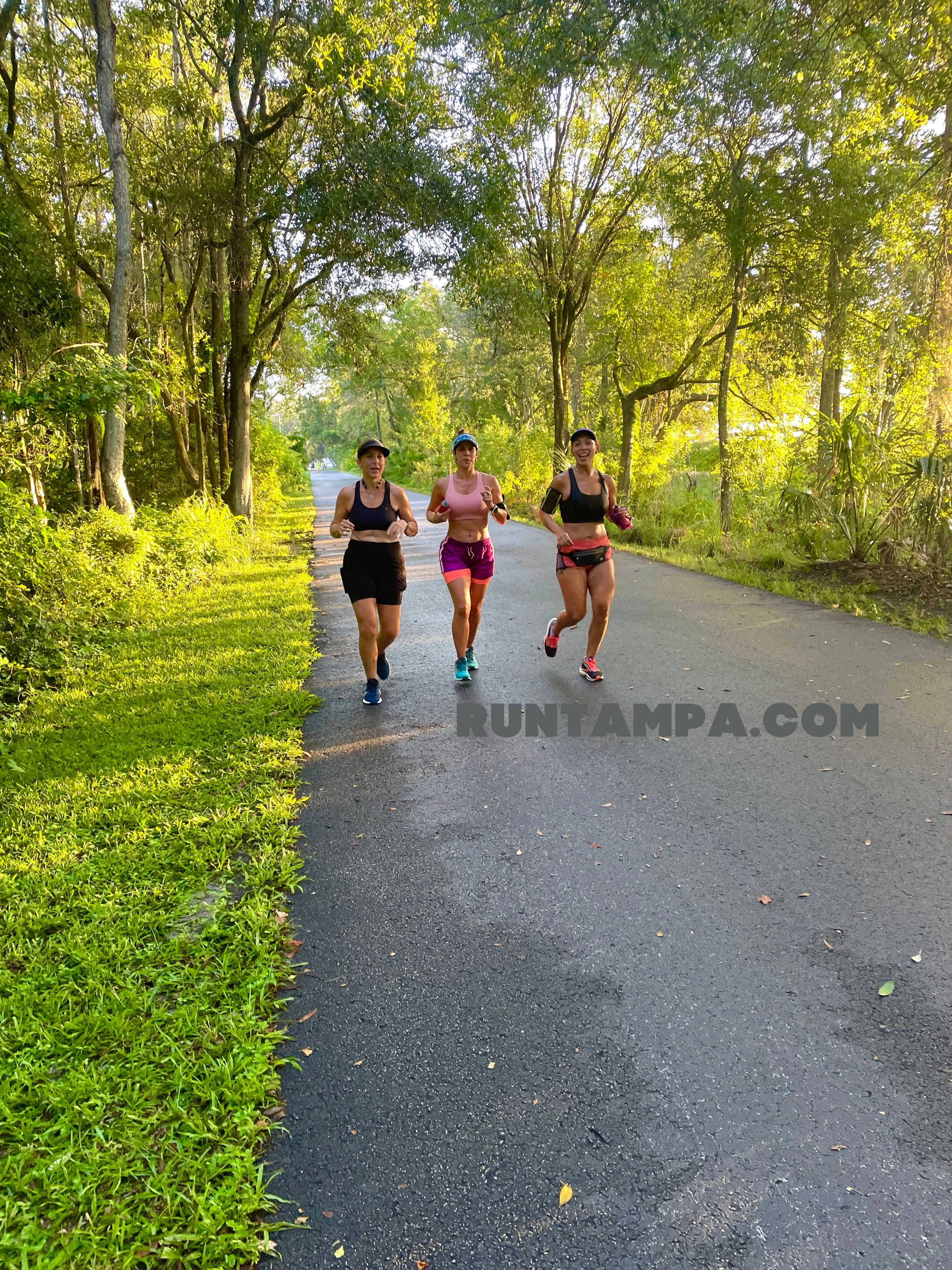
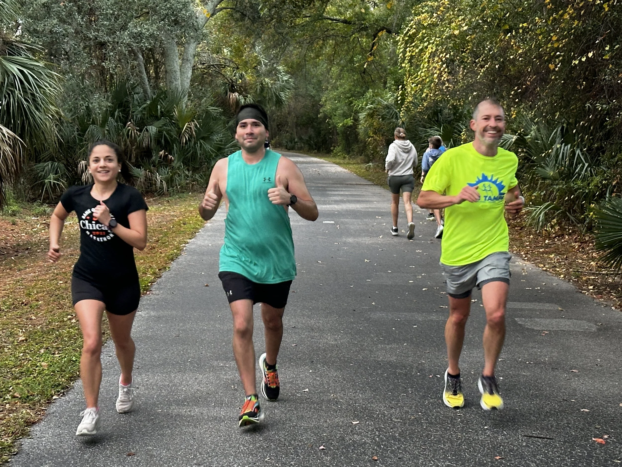
What: This is a group run for all levels. We do not try to stay in a pack. Please see red link above for procedures.
Where: Ehrlich Road, behind Citrus Park Cafe, 7512 Ehrlich Road. See map below for directions to parking/meetup location.
Time: We meet up at 7 a.m. and the run is officially over at 9 a.m., but many will finish by 8 a.m. Plus, it’s not uncommon for some people to start early and circle back to meet the main group at 7:00, particularly in hot weather.
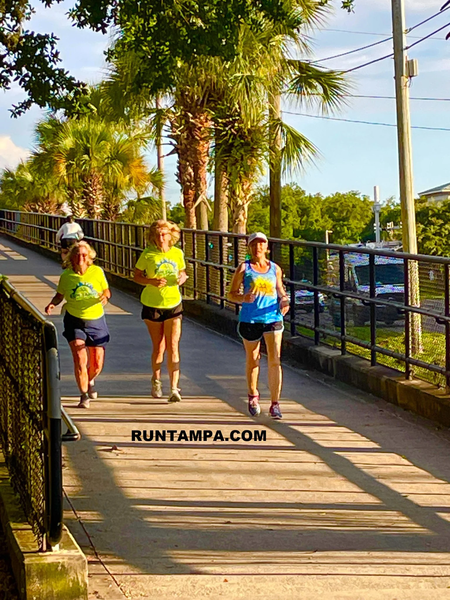
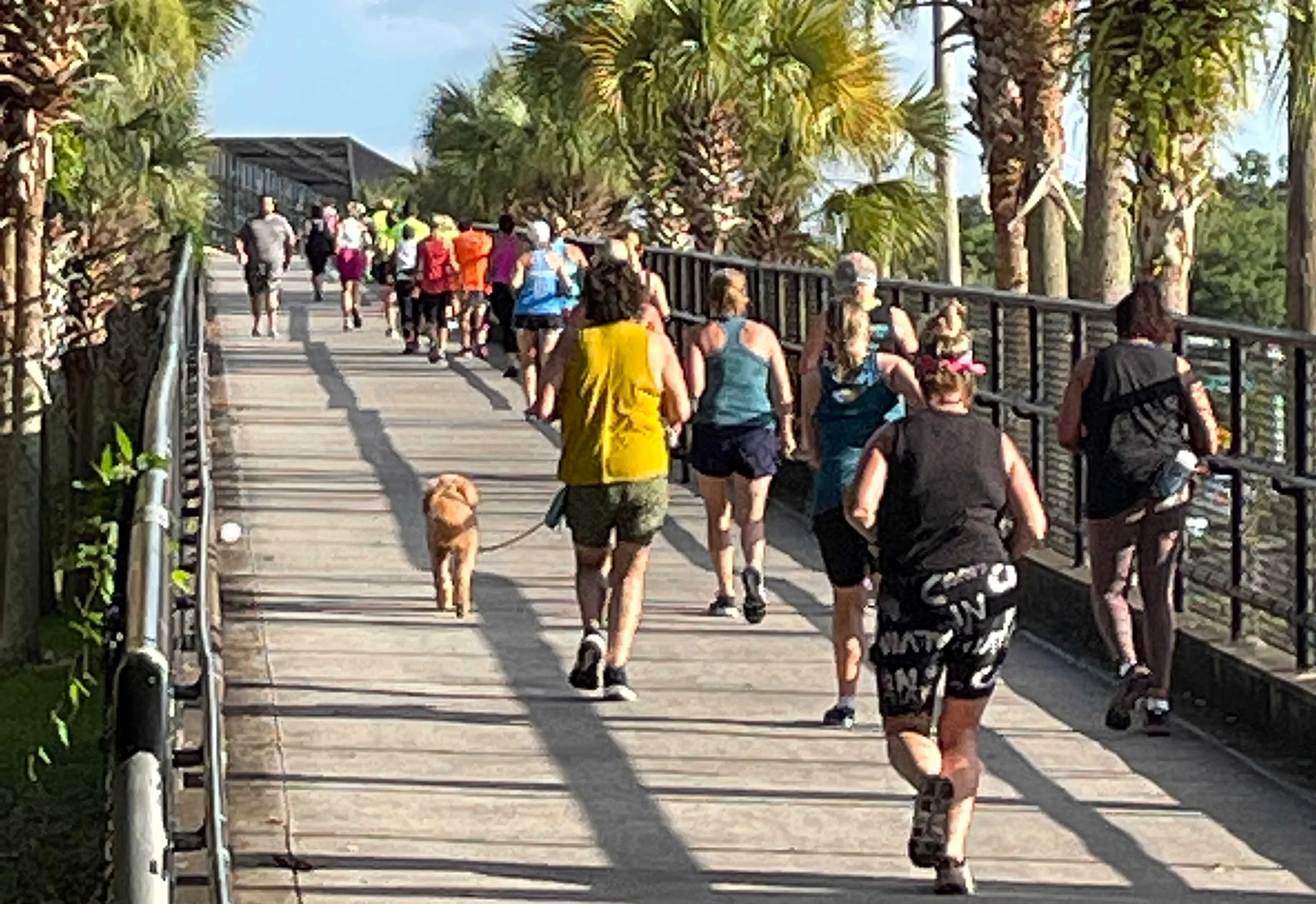
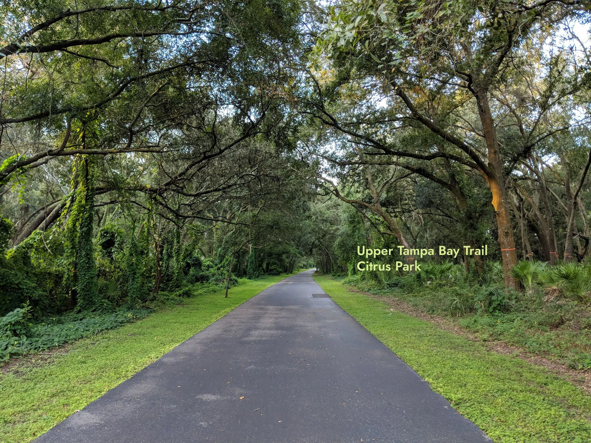
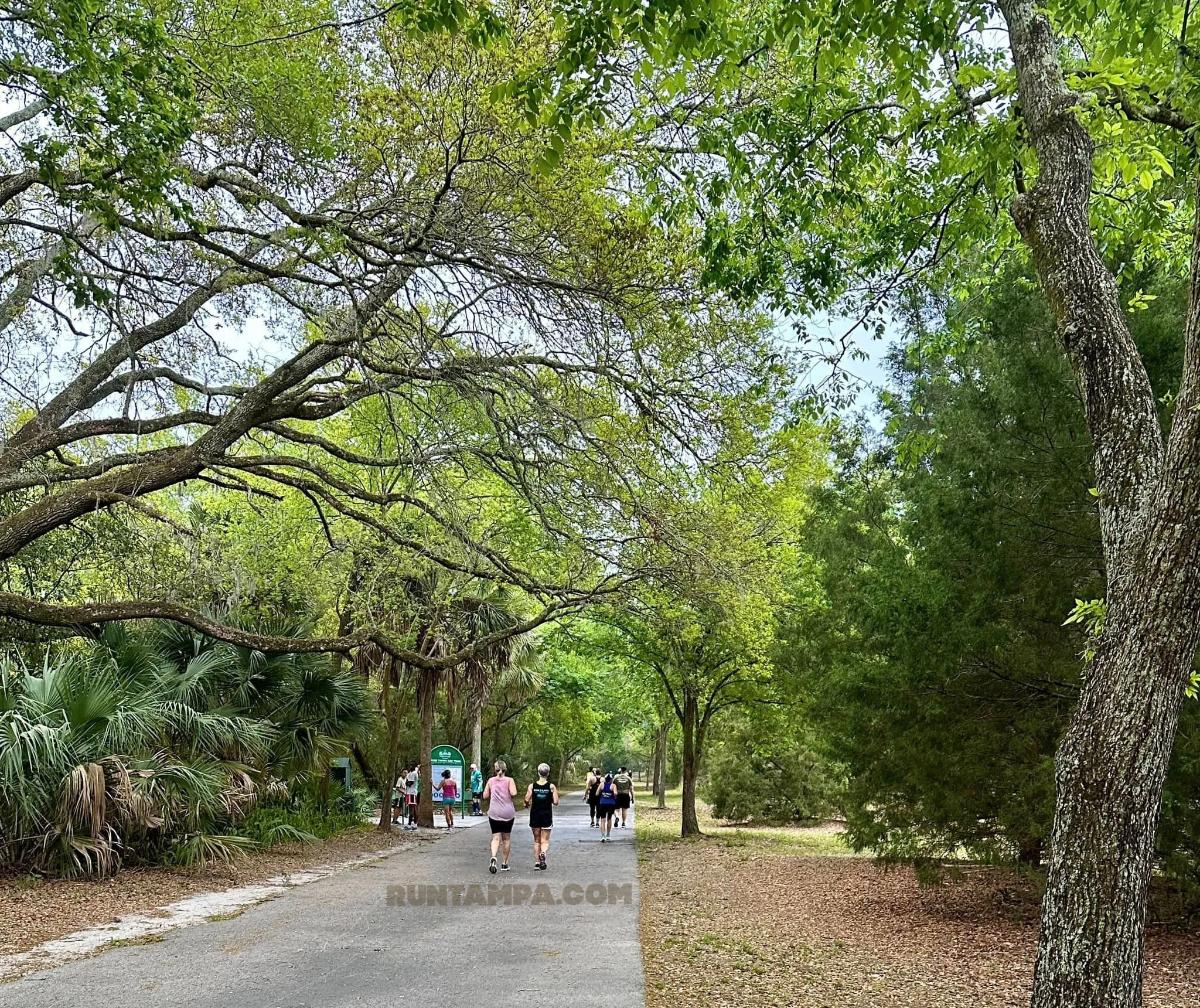
Trail: This asphalt-paved trail is 7 miles long, much of it shaded.
Restrooms: McDonald’s one mile south from the start, at Wilsky Trail Head, 2.5 miles from start, and at the Channel Park Trail head, 5 miles from start. ***Note, you must take the cutoff by the brown bench to get to the Wilsky Trail Head. It’s .1 mile from the bench.
Parking: No fee. There is a public lot right on Ehrlich Road, but most people park in the lot directly behind Citrus Park Cafe. It can be accessed from the public lot.
Early starts: No gate at this location; enter the parking lot at any time. No lights, here; need headlight and reflective clothing for early starts.
Breakfast: Breakfast after at the Florida Cracker Fish Company, next to trailhead. Citrus Park Cafe is another option, also at the trail head.
Channel Park Trail Head
This information is provided as a service. Run Tampa does not currently have group runs from this trail head.
Where: 9201 West Waters Avenue
Trail description: Asphalt-paved 7-mile linear trail, about 1/3 shaded
Water: Kiosks every 2.5 miles.
Restrooms: At Channel Park and at the Wilsky Trail Head
Parking: $2.
Lutz Lake Fern Trailhead
Informational only. Run Tampa does not currently have group runs from this location.
Where: 7020 Lutz Lake Fern Rd., Odessa
Trail: Asphalt-paved 5-mile linear trail, some shade, but it does connect on the north end to the Suncoast Trail, allowing for many more miles.
Water: kiosks every 2.5 miles
Restrooms: at parking lot
Parking: $2
Early starts: The parking lot is gated, but they do not close the gates, making it possible to park there to start early.
***Coach Deb is working with community leaders and the County Commission to encourage them to Close the Gap, connecting the two segments of the trail. Scroll below these photos to see the PD&E Plan. The project is far, far, far behind schedule. Please keep emailing the Board of County Commissioners to ask that they keep it going forward. It seems when the runners and cyclists are quiet, the process either stops or slows, significantly.
Click any maps/photos to enlarge.


Click the photo below to go to the full 23-page study.
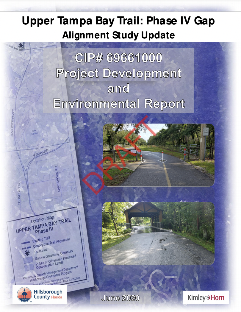
Upper Tampa Bay Trail: Phase IV Gap Alignment Study Update